General info regarding next Sunday.
Remember you are on your own, you
are on your own, you are on you own. Be prepared, be self-reliant.
The Carlton did suffer from Hurricane IAN but thanks to thousands
of volunteer hours, you will get to enjoy our favorite part of Florida.
NO
day of registrations will be considered, the event is at capacity.
Early packets pick up with be Saturday from 4:00 to 7:00 PM at
OFF TRAIL Bike and Brew (430 E. Venice Ave, Venice, FL).
Packets will also be available in the parking area on Sunday
morning.
All cars must be parked at the assigned parking area starting at
6:00 AM. We must allow other park users the use the regular parking spots.
Please fill out the label on the outside of our packet and place the envelope
we gave you on your dash label side up. In the event we need to, will be easier
for us to determine who has not returned at the end of the day. Make sure you
put Eric’s cell number in your phone contacts, so you have it.
941-468-1138.
IMPORTANT:
wrist bands = food.
The start area and bathrooms are located about a half a mile
from the parking lot, right next to the after-party pavilion. We will have a
limited amount of coffee and muffins as the sun comes up.
We are doing mass starts again this
year. Start times are as following:
60-mile gravel: 7:45 AM
40 mile off road: 8:15 AM
20 mile off road: 9:00 AM
20-mile gravel: 9:15 AM
10-mile ride: 10:00 AM
The event isn’t timed but these start times are designed so that
you will be back at the start/finish area in time for the food and beer service
that starts at 11:00 and ends at 3:00 PM. Tom’s Oasis sag stop will close at
2:00 PM. If you feel that you might need more time you should consider leaving
sooner. Weather and wind can change your plans, don’t underestimate how
challenging these routes will be for the average bear.
A GPS file is linked at the end of this. All
turns will be signed and marked with painted arrows.
Follow the signs and you will get back. Don’t
overthink it follow the path of least resistance.
If you see a fellow rider in trouble, give a helping hand.
Make sure you have the basic tools and supplies to keep moving
in case you develop an issue. Don’t forget extra battery power for your
devices. We cannot come and get you; you are on your own, you
are on your own, you are on your own. If you need help getting out, I might be
able to give you some direction. So, call me if you have cell service. Make
sure you have a numbered post nearby. All intersections have a numbered post
that can be referenced to the maps. The smart bear will have linked or
downloaded the property maps before the event or will know how to use the GPS
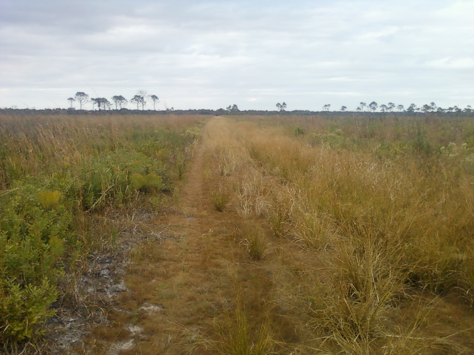
on their phone to determine the easiest way out. The Carlton
basically has two Powerlines, North and South which run East/West. The far
western edge is the Myakka River, and the far eastern edge is a fence line/gate
way down in Northport. The start area is at the bottom left corner of the
property.
The South Powerline is the fastest and shortest way back.
Have fun, look up and enjoy the sights. We love riding the
Carlton, it really is good for your soul to be out there.
Piggy’s 60-mile loop preview
Start time will be at 7:45 AM sharp.
First, it’s two different consecutive loops. The first being
close to 40 miles and the second around 20.
All turns will be marked with signs and painted arrows. A GPS
file is linked here too. Some sections of the south powerline will be crossed
several times.
Both loops start and end
at the starting area. Sag stops will be at mile 9.1, 36, 39, and 55. An
unmanned water stop will be at mile 31. At mile 17, the sag stop will be a
quarter mile off course.
The first loop starts out with some grassy double track, a short
section of gravel, then more grassy double track with a water crossing a small bridge then three gravel sections
with two grassy connectors between them. At mile 10.9 you will take a right
onto a grassy connector.
You will cross this intersection 3 times if you do the whole
distance. First you will take a right turn at mile 1.3 and mile 9.3. You will
be there at mile 36 and mile 53.5 and both times, you will go straight thru.
The signs will say 60 EARLY (right turn arrow) and 60 LATE (straight arrow).
At mile 17.8 you will leave the gravel section onto the Venice-Arcadia
Grade by taking a left. This double track road section will progressively turn
into dirt then into a grass and sandy section: the infamous Mile of Hell (it’s
not that bad this year). At the top of the grade, you will take a right onto
the North Powerline. This year the NPL is mostly grass and dirt, it will favor
power riders for the next 4 miles. Some sections can get bumpy due to the pig
damage, eventually you will take a right turn into a pine forest at mile 26.7.
These double track roads are deeply rutted due to the amount of traffic during
the “search for the killer event”. You will be within a few hundred feet of
that gentlemen’s last stand and let’s not forget Hurricane IAN. Around mile 30.4
you will take a right onto the south powerline, thankfully it has been improved
this last year and this is where you will get to recover and make up some time.
Water at mile 30.7. At mile 36 you will pass Tom’s Oasis sag stop. You are now
close to the Start/finish area at mile 39.2.
It you get to the start area after 1:00 pm no second lap for
you.
The second loop goes souths at the pavilion, you will cross the
parking lot in less than a mile.
After a gate you will start the hardest part of the ride, the
River Trail, it’s 9 miles of bumpy grass, dirt, sand, fire lines and pig
damage. You must find the right line, sometimes a few feet to one side or the
other will make a big difference. If you are having a bad time just slow down
and look up, enjoy one of the most isolated and beautiful areas of the
property. Eventually you will be back on friendly gravel for the second half
this loop. Don’t forget the sag stop then onto the finish area. Time for a
well-deserved beer and homemade brat.
Piggy’s 40-mile Dirt loop preview
Start time at 8:15 AM sharp.
This loop is challenging this year, probably as hard as the 60
miles if not harder. You start out by doing several sections of Boldlygo
singletrack trail until mile 6.7 then you are on the Venice Arcadia Grade, a
grassy section. You will pass Tom’s Oasis sag stop at mile 7.3 so stop in and
say hi to the volunteers.
Don’t linger too long, time to put the power to the pedals! Next
is 11.6miles of gravel followed by grass, water crossings, you will be on the
same route as the 60 ‘s for all of it.
All
the hard work pays off, you get to ride 6 miles of tight singletrack with some
of the prettiest riding in this area especially along the Myakkahatchee Creek.
As a point of interest, you will be within yards of site of the conclusion of
the big news stories that made the Carlton famous a few Septembers’ back.
Now you get to cruise down the smooth gravel of the South
Powerline for 6 miles. Stop at the bridge and check out Big Al the resident
gator. There’s a water stop at mile 23.4 and then the sag stop for the second
time at mile 31.1. Next you will share the last section with the 20-mile
riders: the Red Trail followed by the singletrack at mile 33.2 until the finish
at mile 39.2.
Don’t underestimate this ride, we may not have any hills, but we
have plenty of other challenging sections to make up for this. Did I
mention the wind?
Congratulations you finished a challenging ride! Now time for a
cold beer and a bratwurst.
Piggy’s 20-mile gravel loop preview
Start time will be at 9:15 AM sharp.
The 20-gravel loop shares the first 17.8 miles with the 60-mile
riders. It’s a combination of gravel sections with 4 grassy connectors. The
first one at the start then around mile 1.3 (1.7 long) at mile 6.3. and 10.9.
Those are around a mile long, time to put the power to the pedals! You will see
Tom’s Oasis Sag stop twice, at mile 9and 18. Stop and say hi to the volunteers
and enjoy a refreshment. IMPORTANT NOTE: at mile 1.3 ,10.8 and 20.3 you will be at the
same intersection; the first time you go RIGHT the second time you go RIGHT and
then third you go STRAIGHT. The signs
will say 20 EARLY (right turn arrow), or 20 LATE (straight arrow). Remember
this or you will be going in circles and doing extra miles. We will be waiting
for you at the finish with a cold beer and a hot Bratwurst.
Piggy’s 20-mile single track loop
preview
Start time will be at 9:00 AM sharp.
Some parts of your route will be shared with the 40’s. After the
first mile you will cross a small bridge and a gravel road into an adjacent
property where you will ride the South of Border Trail counterclockwise. It’s 5
miles of mostly tight single track with 4 small bridges and a view of a lake.
You leave this section through the same gate road and bridge that you came in.
Next is Boldlygo until mile 10 then you will cross a weir and go up Venice
Arcadia Grade, a grassy double track section. Mile 11 is the legendary Tom’s
Oasis sag stop. Time to refuel!
Sorry but you must keep going, next is a short section of gravel
on the South Powerline then you will ride down the Red Trail, a grassy trail
with a good line to follow. At 13.4 you will jump back onto Boldygo and ride to
the finish at mile 18.6. Time for a cold beer and a hot bratwurst.
Piggy’s 10-mile preview
Start time will be 10:00 AM sharp.
This ride will leave the start area and head up to the South
Powerline and go to the notorious Tom’s Oasis sag stop 3 miles away. After a
brief stop, you will continue to the bridge over Deer Prairie Slough where you
will try a spot Big Al the resident gator. Next is the reverse route back to
the sag stop and the finish line. The out and back format allows riders to
catch up to the group without fear of getting lost. Keep an eye out for
wildlife, the Carlton preserve is home to a large population of deer, wild
turkeys, and pigs. The gators like to hang out in the water holes along your
route and don’t forget all the birds.
Eric
40-mile singletrack loop: 40 mile Singletrack 2023
20-mile gravel: 20 miles of Gravel 2023
60-mile gravel lap: 60 miles of gravel 2023
20-mile singletrack loop : 20 mile singletrack 2023